Satellite for Climate Change
Harnessing Satellite Radar Imaging to Combat Climate Change: A Comprehensive Look
In our battle against climate change, technology has emerged as a critical ally, providing innovative solutions to monitor and mitigate environmental impacts. Among these technological advancements, satellite imagery, particularly radar-based imaging, stands out for its ability to offer precise, comprehensive, and semi real-time data across various industries. This blog post delves into how radar satellite images are revolutionizing our approach to climate change, explores diverse use cases across multiple sectors, and examines global adoption trends and future expectations.
Understanding Radar-Based Satellite Imaging
Unlike optical satellites, which rely on visible light to capture images, radar satellites use radio waves to penetrate clouds, vegetation, and even the ground. This unique capability allows for continuous data collection regardless of weather conditions or daylight, providing invaluable insights into environmental changes over time.
Key Use Cases of Radar-Based Satellite Imaging
1. Agriculture
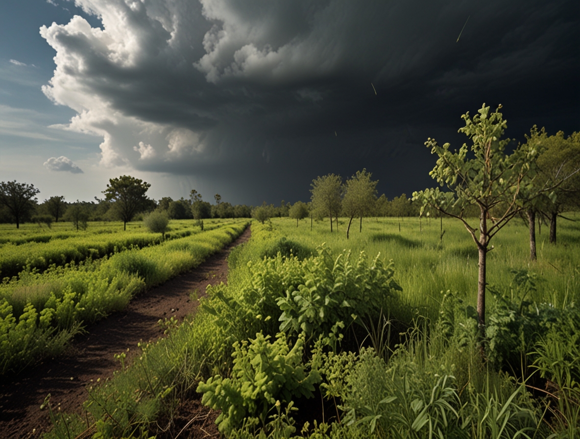
Precision agriculture is one of the primary beneficiaries of radar satellite imaging. Farmers use this technology to monitor soil moisture levels, crop health, and growth patterns. By analyzing radar data, they can optimize irrigation practices, predict harvest yields, and implement targeted interventions, ultimately increasing productivity and reducing resource wastage.
2. Forestry Management
Deforestation and forest degradation are significant contributors to carbon emissions. Radar imaging helps track forest cover changes, detect illegal logging activities, and assess the health of forests. This information supports reforestation efforts and sustainable forest management practices, crucial for maintaining biodiversity and sequestering carbon dioxide.
3. Disaster Management
Radar satellites play a vital role in disaster management, particularly in monitoring and responding to natural disasters such as floods, landslides, and earthquakes. For instance, synthetic aperture radar (SAR) can detect ground movements and surface changes, providing early warnings and aiding in the efficient deployment of emergency response teams. This capability is essential for minimizing the human and economic toll of such events.
4. Urban Planning
Urbanization poses significant challenges for climate change mitigation. Radar imaging assists in monitoring urban sprawl, land subsidence, and infrastructure stability. Cities can use this data to develop sustainable urban plans, optimize land use, and enhance resilience against climate-related impacts such as flooding and heatwaves.
5. Glacial Monitoring
Glaciers and polar ice caps are critical indicators of climate change. Radar satellites monitor changes in ice thickness, movement, and melting patterns. This data is vital for understanding sea-level rise, predicting future climate scenarios, and informing global climate policy.
Global Adoption and Future Prospects
The adoption of radar satellite imaging is on the rise globally, driven by its proven effectiveness and the growing need for precise environmental monitoring. Countries and organizations worldwide are investing in satellite technology to enhance their climate resilience and sustainability efforts.
- North America and Europe lead the charge, with numerous government agencies, private companies, and research institutions leveraging radar data for various applications.
- Asia is also making significant strides, particularly in disaster-prone regions where early warning systems are crucial.
- Africa and South America are increasingly recognizing the value of satellite imaging in managing natural resources and mitigating climate impacts, although there is still room for greater investment and capacity building.
The Road Ahead
The future of radar-based satellite imaging looks promising, with advancements in technology poised to enhance its capabilities further. Innovations such as higher resolution imaging, real-time data processing, and the integration of artificial intelligence (AI) and machine learning algorithms will make satellite data more accessible and actionable.
Moreover, international collaborations and data-sharing initiatives will be essential in maximizing the potential of satellite imaging. By pooling resources and expertise, the global community can develop comprehensive strategies to combat climate change more effectively.
Conclusion
Radar-based satellite imaging is a powerful tool in our arsenal against climate change, offering unparalleled insights across various sectors. As global adoption continues to grow and technology evolves, we can expect even greater advancements in how we monitor, understand, and respond to environmental changes. Embracing these innovations will be crucial in building a sustainable and resilient future for generations to come.
By staying informed and supportive of these technological developments, we can contribute to a collective effort in mitigating climate change and safeguarding our planet.